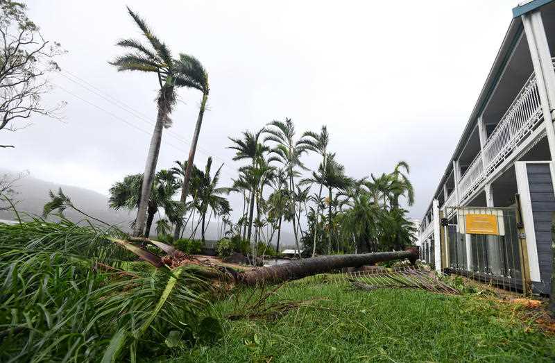
Cyclone Gabrielle has formed off the coast of Queensland with about 2200 people living on Norfolk Island battening down as the storm intensifies and barrels towards the Australian outpost.
The category-one storm was about 730km northwest of Mackay, generating sustained winds of more than 95km/h on Wednesday afternoon.
Meteorologists expect Gabrielle to intensify into a severe, category-three cyclone packing winds of between 165-224km/h on Thursday.
The Bureau of Meteorology forecasts Gabrielle to remain well offshore, but it could bring large waves and strong winds to exposed coastal areas of Queensland and northern NSW from Thursday.
The cyclone is expected to pass near or potentially make landfall on Norfolk Island about 1440km east of Brisbane late on Saturday or early Sunday.
The bureau has warned islanders that an extended period of gale-force winds is likely, with heavy rainfall and damaging surf also possible depending on the movement and intensity of the storm.
Local emergency controller George Plant says a green alert has been issued for islanders to start preparing for a cyclone in the next 72 hours.
The exact course of the cyclone, which could pack very destructive sustained winds of more than 165km/h, remains uncertain.
“It’s going to get very close, and we’re concerned about it,” Mr Plant told AAP on Wednesday.
“At the moment it’s rated a category-three cyclone. Normally, the damaging winds are very localised, but if that happens to go over the island it will be a problem for us for sure.”
He said the storm would likely suspend transport links to the island, particularly flights, but there were no ships in the area at the moment.
The last category-three cyclone to pass near the island was Cyclone Dovi in February 2022, but its eye was 200km west of Norfolk.
“So we only got gale-force winds here, but it’s the same game that we play,” Mr Plant said.
“I mean we’re only a very small island in a very big ocean and it’s generally the eyes (of the cyclones) that we look at.
“They’re going to pass either to the east or the west of us and as long as they’re far enough away it’s not a problem, but if they come straight up at the top of us they are.”
Another tropical low near the Cocos Islands, northwest of WA, has a low chance of forming into a cyclone and continues to be monitored.
Should the weather system form into tropical cyclones, the next name on the list is Herman.


