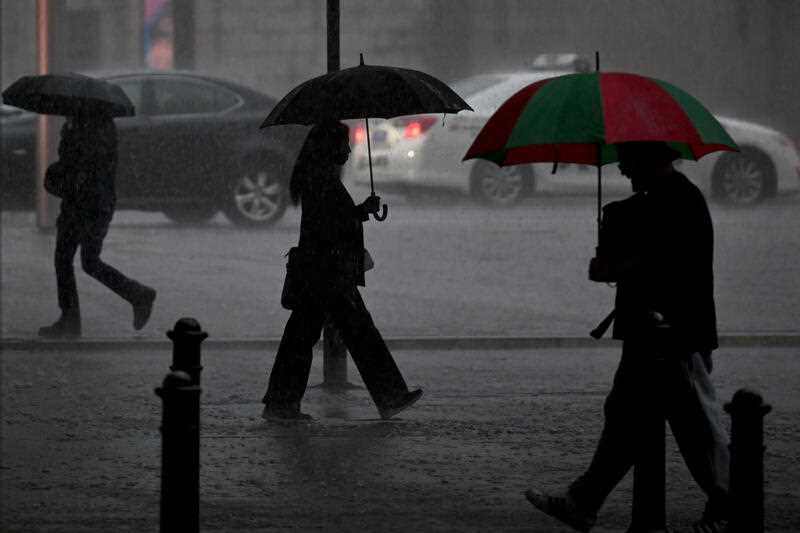
Heavy rain and thunderstorms have wreaked havoc across eastern Australia with two people rescued after their car was swept away in floodwaters and others from a NSW home.
Two flood rescue missions were conducted on Wednesday at South Nowra and St Georges Basin, the NSW State Emergency Service said.
Areas of the Illawarra region and south coast had copped more than 150mm of rain in the 24 hours to Wednesday evening.
Total rainfall over the past two days was expected to reach more than 300mm in some places by the end of Wednesday.
“This is enough rain to cause surface and flash flooding, inundation of homes and properties,” Bureau of Meteorology senior meteorologist Angus Hines said.
Some parts of northern Victoria had more than 80mm of rain in the 24 hours to Wednesday evening, which was unusual for this time of the year.
Swan Hill near the Victorian border, where residents woke to find streets inundated with floodwaters on Wednesday morning, had recorded 85mm in 24 hours by the evening.
“The rainfall over the course of today and this week is going to be well in excess of a month’s worth of rainfall,” Mr Hines said.
Victorian SES personnel responded to more than 300 calls for help across the state from late-Tuesday into early-Wednesday, with most relating to trees falling onto roads as a result of strong winds, spokesman Tim Wiebusch said.
The situation had eased by Wednesday evening but the SES was still dealing with more than 140 active calls for help across the state as of 7pm.
BOM meteorologist Kevin Parkyn on Wednesday afternoon forecast parts of the Gippsland and the Otways would face as much as 200mm of rain over the next 24 to 36 hours.
“Where we do see this intense rainfall, it will result in flooding,” he said.
Mr Parkyn expects there to be minor to moderate flooding in a lot of the catchments but heavy rainfall on Thursday could spill it into major flooding.
People living in rural and low lying areas are being urged to prepare as the area could be subject to potential evacuations and flooding.
“We’ll also see a range of roads that will be cut, particularly local roads, but we may also see some major roads in Gippsland being cut over the next 24 to 48 hours,” Mr Wiebusch said.
Eastern NSW was being hit with heavy rains and destructive winds late on Wednesday, with the bureau also warning of large hail and flash flooding in severe thunderstorm warnings.
Norah Head on the NSW Central Coast recorded a wind gust of 115km/h about 5.10pm.
The NSW SES had fielded about 900 calls for help in the 24 hours to Wednesday evening, and about 600 calls since midday.
Most calls were about floodwaters threatening properties, leaking or damaged roofs and fallen trees, with a significant number of calls coming from the state’s southeast.
“That does seem to be the area continuing to be affected overnight with the weather still a risk,” NSW SES spokeswoman Jenni North said.
Emergency crews earlier responded to seven rescues with more than 20 homes affected by flooding at Deniliquin, in the state’s southwest.
Five “in water” strike teams of 20 highly trained firefighters will be deployed to NSW’s saturated south coast to help with flood rescues overnight.
Storms were also expected to lash southeast Queensland on Wednesday, easing on Thursday, before returning on Friday.
Multiple flood warnings were in place in Queensland on Wednesday evening.
At the other extreme, severe heatwave conditions in north Queensland are expected to build along the east coast and extend south before easing on Friday.
Some far north Queensland centres have recorded a string of days in the mid-to-high 30s, which are forecast to continue to at least the end of the week.
By William Ton, Suzanne Simonot and Samantha Lock in Melbourne


