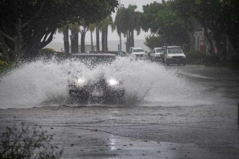
Northern Australia is battening down the hatches as the weather bureau warns intensifying activity in the Coral Sea will likely result in the formation of Cyclone Kirrily.
While the cyclone won’t be officially named until it is properly formed, the Bureau of Meteorology expects Kirrily to develop off the Queensland coast by Monday.
A coastal impact with Queensland is now considered more likely than not, but there still remains some uncertainty in the movement of the system.
The most likely area of impact is between Cairns and Mackay, probably south of Townsville.
“By the time we get into Monday afternoon we’re going to be pretty close to tropical cyclone intensity,” senior meteorologist Dean Narramore said.
The cyclone is expected to track south-westerly and gain strength as the week continues, possibly becoming category 3 before it reaches the coast.
On Saturday, residents celebrated the reopening of the Captain Cook Highway between Cairns to Port Douglas, which was closed after Cyclone Jasper struck a month ago.
In the Northern Territory, a flood watch and multiple flood warnings are current for the northwest and some central districts, where many communities have already been evacuated.
On Sunday afternoon residents of Kalkarindji were warned they may become isolated as the Victoria River rose significantly.
Some catchments along the river had received up to 370mm of rain in three days.
“River levels in the lower Victoria catchment approaching 1991 record flooding,” the bureau warned.
Heavy rainfall and potential flash flooding was likely to continue through the central inland, extending west towards the WA border on Sunday and reaching the Pilbara on Tuesday and Wednesday.
Residents in parts of Kimberley and North Interior districts were told to get ready for severe weather due on Sunday afternoon.
Locations which may be affected include Halls Creek, Balgo, Lake Argyle and Warmun.
Severe weather was forecast to develop over the eastern Kimberley and northern parts of the North Interior districts on Sunday night and Monday morning with scattered six-hourly rainfall totals between 90 to 150mm likely.
A flood watch was in place for East and West Kimberley and Fitzroy Rivers, Sandey Desert and Sturt Creek District.


