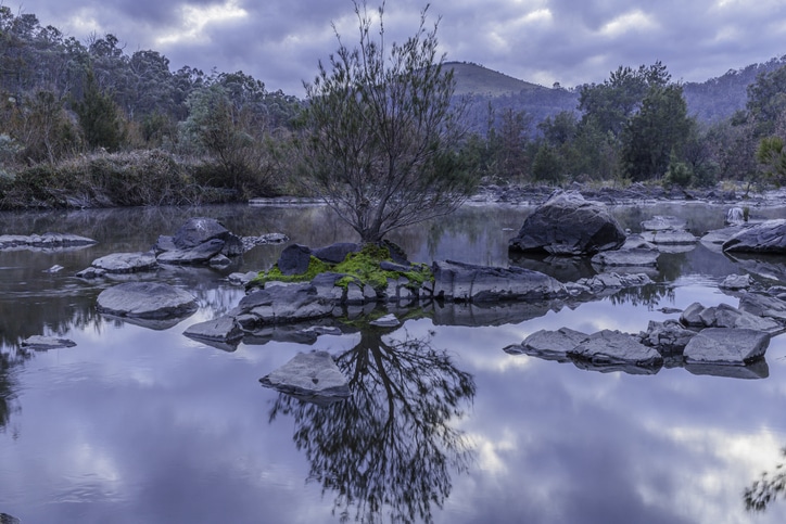
The upper Murrumbidgee catchment was devastated by bushfires in the 2019/20 summer, according to the 2020 Catchment Health Indicator Program (CHIP) report, which provides information on local waterways.
Rain after the fires washed sand, soil and ash from the fresh fire grounds into local systems.
The report also found that 2019 was the driest year on record; the rains washed organic matter built up in the landscape into the waterways leading to high nutrient concentrations.
A total of 229 sites were surveyed in Cooma, Yass, and across Canberra, covering 11,400 square kilometres; 40 received an excellent or a good mark, 55 were marked as fair, while three received a poor result. None were rated as degraded.
“While the range of scores did not change markedly from 2019, conditions influencing the scores most certainly did,” said ACT Minister for Water, Shane Rattenbury.
“Extended dry conditions could be attributed to many of the results in 2019, but in 2020, either a lack of rain, too much rain or, of course, bushfires, played a role.
“Thankfully, many waterways started to improve as the high flows continued throughout the rest of the year, and hopefully we will see continued improvements in 2021.”
This sixth annual report of its kind was based on 1,872 water quality surveys, 184 waterbug surveys, and 219 riparian condition surveys conducted by more than 200 volunteers.
Mr Rattenbury thanked the volunteers for their thousands of hours of work despite bushfires, severe rain and the pandemic.
“Volunteer citizen-scientists play a major role in maintaining the health of our environment,” Mr Rattenbury said.
In addition, 300 volunteers took part in the Platypus Month surveys, discovering 31 individual platypuses over eight ‘river reach’ sites across the ACT.
For more information, including the 2020 Catchment Health Indicator Program report, visit the ACT Waterwatch website.


