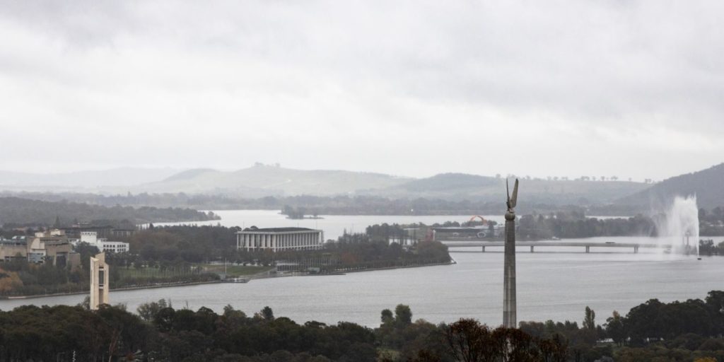
Get the winter blankets ready and batten down the hatches Canberra, because once the rain passes late tomorrow, we’ll be in for a few days of cold windy weather as winter comes to town early.
In case you’ve been under a rock today, it’s been pretty wet. BOM meteorologist Gabrielle Woodhouse said that will persist into Thursday, with 15-25 mm predicted to fall, as the rainband leading an impending cold front continues to move east.
Ms Woodhouse told Canberra Daily once that rainband starts to clear later tomorrow, colder, clearer air will come through, and won’t be going anywhere in a hurry.
“You may still see a shower lingering on Friday (1 May), but it will be much colder and fairly fresh westerly winds … Friday’s max is 7 degrees, which is the earliest less-than-10-degree day for Canberra since 1952.
“It is a very significant cold front moving through. It’s up to everyone as to what level heating they want … But I live in Sydney, I find Canberra absolutely freezing in winter,” she said.
Ms Woodhouse said it’s going to feel exponentially colder across Friday and the weekend due to some blustery conditions that will add a significant wind chill factor.
According to BOM’s MetEye system it’s going to feel like zero degrees Celsius in the capital at various points on Friday.
“If I was in Canberra, I’d be getting out my jumpers and doonas because It’s going to remain relatively cool for several days following,” Ms Woodhouse said.
Canberra’s weekend maximum is expected to be between 12 and 14 degrees Celsius, and it won’t be until around midway through next week that it might “warm up” to around 15 degrees.

Ms Woodhouse said a cold front like bringing this type of weather is not uncommon in Canberra at this time of year.
“What we’ve been able to see ahead of the cold front is this rain band, due to more moisture.
“Some of the climate drivers broke down toward the end of summer; since then a lot more moisture has come across which has created widespread showers,” she said.
After having our first cold snap of the year at the start of April that brought with it a dusting of snow across the Brindabellas, Ms Woodhouse said we could potentially be in for some snow across the Territory this time around, too.
“We are looking at potential snow at low levels, with the snow level dropping tomorrow night down to 1000m … We might expect some snow over western parts of the ACT continue into Friday, as snow levels then slowly increase up to 14,500 metres over the course of the weekend,” she said.

