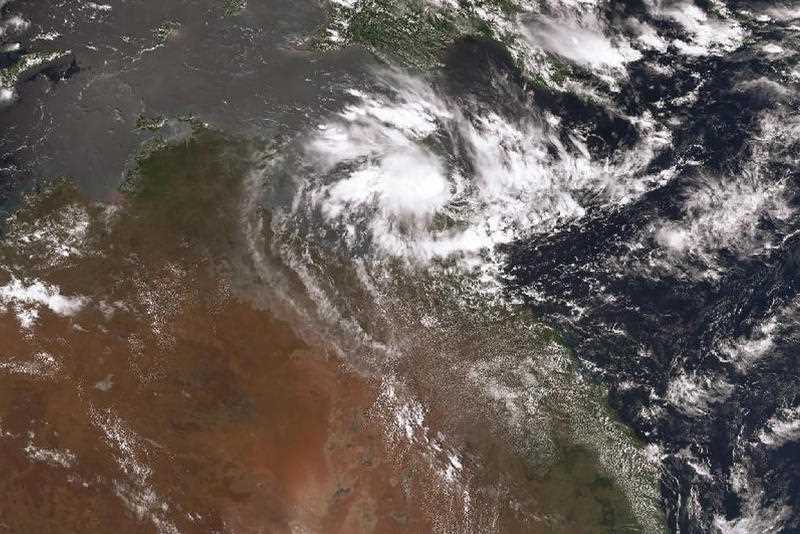
A tropical cyclone is likely to form off north Queensland in the next three days potentially impacting coastal areas hit by floods last month, but it’s unlikely to make landfall at this stage.
The Bureau of Meteorology says a tropical low forming near Vanuatu is expected to move west over the Coral Sea on Monday and Tuesday towards the north Queensland city of Mackay.
The system will then rapidly intensify into a tropical cyclone as it moves west and it could intensify into a severe cyclone by Wednesday night or the early hours of Thursday.
“There is considerable risk that the system could be close to the east coast of Queensland, off Mackay by Thursday,” the Bureau said in an alert on Sunday night.
“However, current model guidance indicates that the cyclone may curve towards the southeast, away from the coast from late Thursday or Friday. Based on this, a direct impact or landfall is not expected at this stage.”
The system may track near Norfolk Island, the Australian territory about 1400 kilometres off the east coast, over the weekend.
Severe cyclones are classified as having sustained winds of more than 118km/h and gusts of more than 165km/h with the latest system this season likely to be named Cyclone Freddy.
By Marty Silk in Brisbane
Get local, national and world news, plus sport, entertainment, lifestyle, competitions and more delivered straight to your inbox with the Canberra Daily Daily Newsletter. Sign up here.


