Heavy rain is set to continue across Australia’s far north and southeastern states, bringing potentially life-threatening floods to some areas.
Flood warnings have been issued for multiple areas across NSW and the north western Northern Territory, as well as Victoria and southern Queensland.
Some residents in rural communities in northern NSW are already cut off by flood waters, including about 500 people in Darkwood, west of Coffs Harbour, impacted by flooding on the Bellinger River.
The NSW State Emergency Service is in contact with the affected residents and can resupply them if required.
Heavy rain with potential flash flooding is forecast for parts of NSW’s Southern Tablelands, South West Slopes, Riverina, and Snowy Mountains from late Wednesday morning.
“The main risk associated with this storm is localised heavy rainfall leading to flash flooding and damaging winds,” the SES said.
Six-hourly rainfall totals of 50 to 80 mm are likely, with 24-hour totals of 80 to 120 mm possible, according to the Bureau of Meteorology.
Heavy falls are set to hit northeastern Victoria, as well as southern NSW, along the Hume Highway, potentially impacting people driving between Melbourne and Sydney.
Further north, a severe weather warning was issued on Wednesday morning for people in Daly, Tiwi, Arnhem, Gregory and parts of Carpentaria, Barkly and Tanami districts.
Locations that may be affected by intense rainfall and damaging winds included Darwin, Katherine, Nhulunbuy, Palmerston, Jabiru, Maningrida, Wadeye, Wurrumiyanga and Nauiyu.
In Western Australia, warnings have been issued for severe thunderstorms in the Kimberley region.
Authorities are also warning of two cyclones potentially developing in the coming days.
Tropical Cyclone Anggrek is expected to become a category two system on Wednesday after forming in the Indian Ocean, about 4000km off Western Australia’s coast.
Anggrek is set to enter Australian waters this week as it tracks south.
“It is highly unlikely to have any impact on mainland Australia but gale force winds could be felt in the Cocos Islands,” the bureau said.
A tropical low off Cairns is also set to strengthen into a cyclone by Sunday.
While it is expected to remain offshore this week, the system is a chance of tracking back toward Queensland’s far north next week.
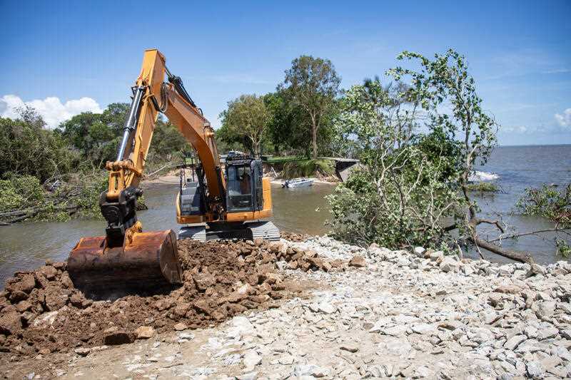
The region is still recovering from record flooding caused by Cyclone Jasper, with rain hampering progress.


