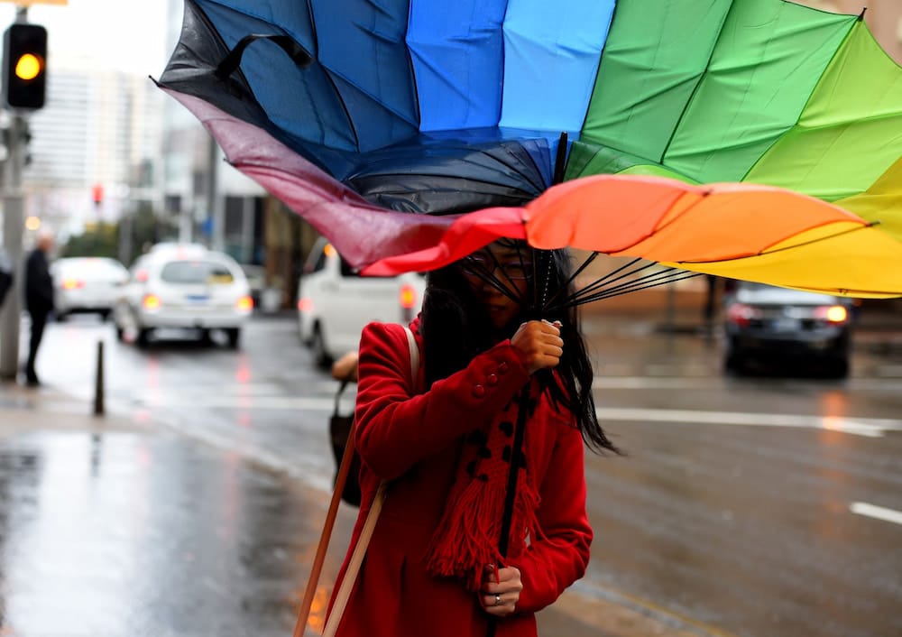
Rain and thunderstorms are expected across large parts of the ACT and NSW with severe thunderstorms possible in many areas.
The Bureau of Meteorology’s David Wilke says the wet week will continue with thunderstorms forming across the west of the NSW on Wednesday afternoon and continuing into Thursday morning.
“We’re going to see a cold front moving through the state … it’s going to bring pretty widespread areas of showers and storms and some reasonable rain through the southern part of the state,” he said.
The rain will extend to more eastern parts of the region into Thursday night, with Canberra and Sydney possibly experiencing severe thunderstorms.
However, thunderstorms are often small area events, which means some communities may experience intense storm activity while locations nearby aren’t affected.
Hazards may include damaging winds, heavy rain, and large hail and flash flooding is possible in some locations.
Moderate to heavy rain is expected about southern parts of the western slopes, including the central west, southwest slopes, eastern Riverina and Alpine.
Recent rain has left catchments in those areas wet and many dams are near capacity, so there’s the potential for more rain to cause rivers to rise and flooding.
Conditions are expected to begin easing after Thursday, but there’s still the possibility of thunderstorms on Friday.
AAP
Get all the latest Canberra news, sport, entertainment, lifestyle, competitions and more delivered straight to your inbox with the Canberra Daily Daily Newsletter. Sign up here.


