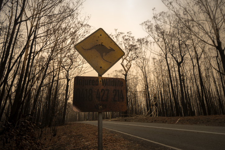
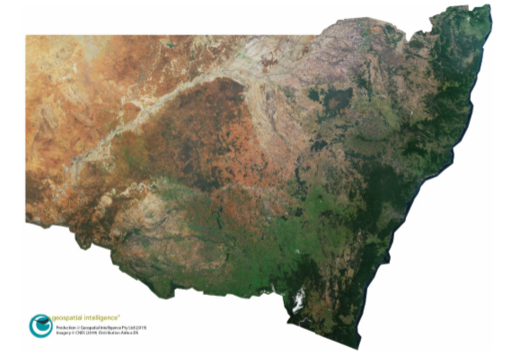
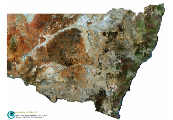
Satellite imagery released following the 2019-20 Black Summer bushfire season shows the full extent of devastating damage through NSW and could be the key to mitigating future fire risk.
Australian space company Geospatial Intelligence Pty Ltd took high-resolution images during 2019 and then immediately after the bushfires in 2020.
Geospatial Intelligence Pty Ltd CEO, Mr Rob Coorey, said the data had now been passed on to the NSW Government as a resource for recovery efforts and future planning.
“It isn’t like our human eye; we can use computers to analyse these images in very fine detail and see the effects of vegetation,” he said.
“With this data you can look at pre and post fire to determine if the land was already moisture stressed and whether the intensity of these fires was related to something to do with the land beforehand.
“Then you can ask ‘is there a better way of using this information before the fire season? Is there a better way in planning our infrastructure?’.”
The images now show the full extent of fire scars, and vegetation, property and infrastructure damage following the bushfires, and during recovery.
Data could also be of assistance in analysing fire behaviour, intensity, and what impact external factors have on this.
Mr Coorey said in light of the current Royal Commission into National Natural Disaster Arrangements, it was important to see governments making use of satellite technology.
“Our ability to task satellites daily to image in high resolution, large areas of the States and Territories, provides an incredible capability to government and industry for monitoring natural disasters in near real time,” he said.
“It is encouraging to see that the NSW Government, along with a growing number of other government departments and private companies, are appreciating the value of very high-resolution imagery technology and Australian capability, and the efficiencies it can deliver in their particular undertakings.”


