
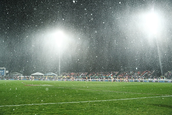
Tuesday 8 June: The Bureau of Meteorology has issued a Severe Thunderstorm Warning for a number of areas including Canberra over the next several hours. These thunderstorms are likely to produce damaging winds.
Canberrans are asked to monitor the situation and take precautions as the weather system passes through.
The ACT State Emergency Service (ACTSES) advises you should:
- Move your car under cover or away from trees.
- Secure or put away loose items around your house, yard and balcony.
- Keep at least 8 metres away from fallen power lines or objects that may be energised, such as fences.
- Stay indoors away from windows, and keep children and pets indoors as well.
For emergency help in flood and storms, call the ACTSES on 132 500.
The Bureau of Meteorology has today updated its forecast about the weather system beginning to impact the ACT and NSW.
Much of NSW and the ACT will experience a significant drop in temperatures over coming days, with some areas expected to be more than 10 degrees below average, and many areas expected to be more than five degrees below.
Significant snow falls are expected around the region over coming days, including areas of the Northern Tablelands, the Central Tablelands, and the Southern Ranges.
Snow levels are likely to drop to 800m and could even fall as low as 500m. This could include locations such as Oberon, Orange, Barrington Tops, the Blue Mountains, Guyra, Armidale and Glen Innes.
Strong and gusty winds are likely to begin in some areas from today.
Snow and ice may lead to dangerous driving conditions.
Damaging winds are expected over the NSW Alps and possibly on the South Coast, and northern ranges.
Storms associated with the cold front are currently occurring in parts of western NSW and will continue tracking east through this afternoon and this evening.
There is a risk of heavy rain in the south-east later in the week, and people in that area should watch for updates.
While an East Coast Low is expected to the develop in coming days, it should be noted that most impacts are likely to occur on the Victorian side of the border. However, these types of weather systems can be quite dynamic and people in southern regions should continue to monitor conditions and warnings, BoM warns.
Monday 7 June: Canberra could see snow falling this week as temperatures are set to drop across the ACT and NSW in the coming days.
Bureau of Meteorology (BOM) meteorologist Melody Sturm said from tomorrow onwards, a cold front crossing through much of NSW would bring rainfall, winds and the chance of snow.
“It’s going to be mostly Wednesday and Thursday, the temperature will be low enough for rain to turn into snow above the 900m mark,” she said.
However, Ms Sturm said areas between 800m and 900m elevation could still see a dusting of snow, and beyond the alps, Ms Sturm said “quite a lot” of areas in eastern NSW could see some flurries.
She said Wednesday and Thursday would see the coldest temperatures of the week for most of NSW, with Wednesday set to reach a chilly high of just 8°C in Canberra with 30km/h winds and 30mm of rain forecast.
“We see temperatures ranging from 4-7°C below the average temperatures for this time of year for any particular place,” Ms Sturm said.
The BOM has also issued a severe weather warning for the Snowy Mountains for damaging winds tonight and into Tuesday, for the areas of Jindabyne, Perisher Valley, Charlotte Pass and Thredbo.
“Especially going into those few days we’ll have some gusty winds between the 1,900 and 1,000m level.”
The cooler temperatures and resulting snow dumps, with more on the way, have prompted Perisher ski resort to open some of its lifts a week earlier than planned.
For more news: